Ready to step back in time?
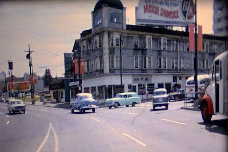
The Ministry of Transportation and Infrastructure has released its latest video in their series: BC Road Trip Time Machine, and this one chronicles the journey from Horseshoe Bay to New Westminster in 1966.
The video is put together from archival footage as it meanders through West Vancouver and over the Lions Gate Bridge, into downtown Vancouver along Georgia Street, up Main and out along Kingsway.
“From boxy station wagons to $0.39-per gallon gas, this video provides us with a nostalgic snapshot into B.C.’s past, before high-rise buildings filled Vancouver’s downtown core,” states a release from the Province.
Back in 1966, the ministry (then called the Highways Department), began a photo project to chronicle all 9,000 kilometres of B.C. roads, from Fort St. John to Vancouver Island. They had a camera that took still images every 26 metres and rigged it to the dash of a car; those photos were then put together into a single film.
According to the Province, this was done to save engineers time by allowing them to monitor road conditions without travelling to the various sites, and plan safety improvement projects from their headquarters in Victoria.
Nowadays they use a specialized van equipped with computers, lasers, GPS and high definition cameras to collect information about highways and roads.
ragnar.haagen@bpdigital.ca
Like us on Facebook and follow us on Twitter