One weather extreme is never far from another around Vancouver Island.
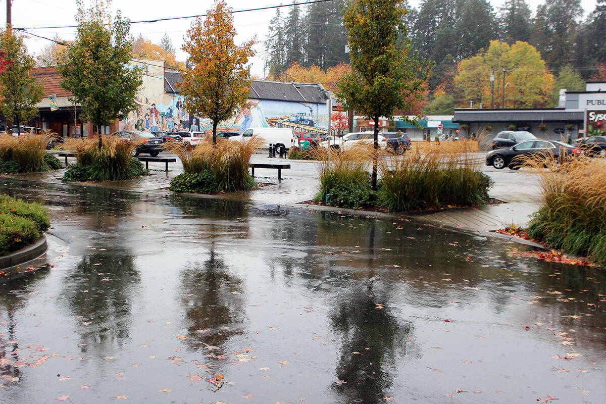
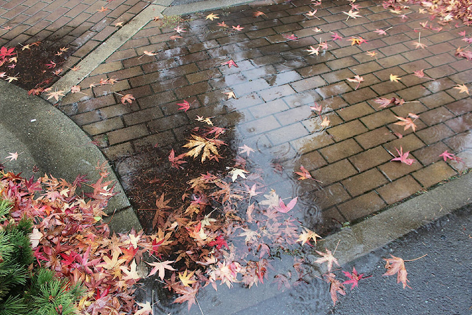
After this year’s exceptionally hot and dry summer, September rains brought a reminder of how quickly conditions can change and it continued into October with above normal rainfall.
“However, this past month was nowhere near as wet as September despite the fact we are now moving into our customary wet season in the Chemainus Valley,” noted Chris Carss, a volunteer weather observer/recorder for Environment Canada at his Chemainus home.
”October’s above normal rainfall total was modest compared to September’s monsoon conditions and that was largely the result of three non-consecutive days with some heavy, but not torrential rain.”
The first four days of October were fair and dry, Carss recapped, but after that the rain came in various amounts almost every day with no more than one or two dry days at a time.
The number of days with rainfall was a few more than usual, but every dry day had at least some sunshine and the month ended with three days of unadulterated sun. That kept the overall number of mainly sunny and dry days right on normal at 12.
”Daytime highs fell a little short of normal while overnight lows were just about spot on,” added Carss. “Virtually every cloudy day produced rain and even some days with partial sunshine had at least a few showers so the Valley experienced no cloudy days that were dry.”
Days of mostly or partly sunny conditions, with or without rain, reached 16. The days with rain and clouds or partly sunny conditions totalled 19, four above the normal.
Total rainfall, however, was 214.0 millimetres, surpassing the normal of 133.6 mm by a large margin.
The mean maximum temperature for October was 12.6 degrees Celsius, below the normal of 14.1 C. The mean minimum of 7.5 C was a mere 0.1 C above normal.
The extreme maximum of 17.0 C occurred on the very first day of the month. Ironically, the extreme minimum of 2.0 C was on Halloween, the very last day of the month.
“The wee small hours of Oct. 11-12 gave us our first frost of the fall season, but not surprisingly, there was also frost on the last day of October for Halloween,” Carss observed. “At least the celebrants got in their activities before the rain arrived.”
On Thetis Island, Keith Rush recorded 147.3 mm for October at his Foster Point Road residence. The total during October of 2020 was 103.6 mm and the average October on Thetis brings 115.8 mm of precipitation.
The year-to-date precipitation now stands at 721.2 mm, above the average year-to-date of 700.0 mm.
“It’s the first time since February of this year that my year-to-date figure is above my 13-year average year-to-date,” added Rush.
November started with the customary rain and near-normal temperatures.
”It looks like the month will remain near-normal most of the time with plenty of rain and a few dry days mixed in along the way,” Carss said. “There is also a chance of some snow mixed in with the rain near the end of the month as our otherwise mostly normal temperatures start to flirt with the freezing point.“


