That mocking you’ve been doing of the folks in Eastern Canada?
Prepare for the possibility of eating your words.
With temperatures set to dive below freezing Sunday and into early next week, snow is a distinct possibility for much of Vancouver Island
There is a 60 per cent chance of a few flurries starting Sunday evening, according to The Weather Network, which carries into next week with a 40 per cent chance of flurries on Monday and Tuesday.
RELATED: Cherry blossoms are blooming early in Victoria
The chance of flurries increases to 60 per cent on Wednesday before warmer temperatures hit Thursday and Friday turning flurries to showers.
Environment Canada, meanwhile, is predicting a chance of flurries for Nanaimo, Duncan, Courtenay, Port Alberni and Campbell River Sunday and Wednesday in its seven-day forecast, and the same Tuesday and Wednesday in Port Hardy and Wednesday in Ucluelet.
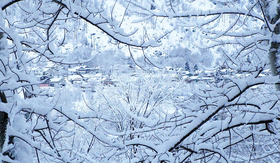
HERE it is, major arctic blast targeting B.C. – hopefully you weren't bragging too much about how meek and mild our winter has been... #BCstorm #BCcold pic.twitter.com/EeAb4SEhwQ
— Tyler Hamilton (@50ShadesofVan) January 30, 2019
Follow us on Instagram Like us on Facebook and follow us on Twitter.