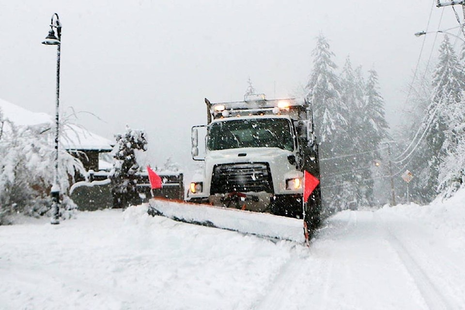
The Cowichan Valley could see up to 10 centimetres of snow by noon on Friday.
Matt MacDonald, a meteorologist with Environment Canada, said the forecast for the Valley is for light snow to begin falling at about 10 p.m. Thursday evening.
“The snow will intensify beginning at about 3 a.m. Friday morning, and we expect there will be about five centimetres on the ground by the time people wake up,” he said.
“Another five centimetres is expected by noon, and then it should switch to showers.”
MacDonald said Saturday is expected to be an unsettled day, with just a few flurries in the evening.
But he said another system will move in on Sunday, which is forecast to drop another five to 10 centimetres of snow in the Valley.
“Then the temperatures are expected to plunge as a system bringing Arctic air will reach us by Sunday night,” he said.
“We will have a reprieve from the snow, but the temperatures should drop to about -7 Celsius on Sunday night. The temperatures are not forecast to get above zero on Monday and Tuesday during the day, and they will drop to about -10 C at night with the wind chills. It may even drop to as low as -20 C on Tuesday night.”
MacDonald said the Arctic system will stay entrenched in the Valley until at least the end of next week, and another “significant” snowfall is forecast for Wednesday, but it’s too early to forecast the amount of snow expected.
“We’ll be in the deep freeze for awhile, so people are advised to get out their puffy jackets, tuques, scarves and winter boots,” he said.
robert.barron@cowichanvalleycitizen.com
Like us on Facebook and follow us on Twitter
