More and better dikes, as well as higher bridges and roads, will likely be needed in the floodplains of the Cowichan and Koksilah rivers in the future as climate change intensifies, according to a report that was presented to the board of the Cowichan Valley Regional District.
Based on the information and updated flood maps provided by Northwest Hydraulic Consultants, the CVRD will apply for a federal grant on behalf of the district and its partners of up to $200,000 to support the development of an asset management plan for the Cowichan River dike system.
The CVRD’s board made the decision to apply for the funding from the Canadian Municipalities Municipal Management Program at its meeting on March 10.
RELATED STORY: CVRD SEEKS FUNDS TO COMPLETE FLOODPLAIN MAPPING ON COWICHAN AND KOKSILAH RIVERS
The floodplain maps presented by the engineering company represent a designated 200-year flood adjusted for a climate change and sea-level rise scenario in the year 2100.
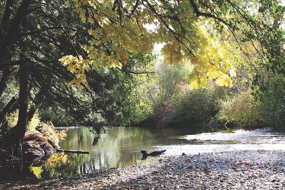
The Northwest Hydraulic Consultants’ report said the major flooding that took place last year on Feb. 1 in the Valley was a 30-year event and caused significant erosion and sedimentation along the north and south branch of the Cowichan River.
The report said it would be useful to re-survey the river to assess the risk of future channel instability in response to the flooding incident so that measures for restoring the channel could also be designed.
RELATED STORY: STATE OF EMERGENCY DECLARED FOR COWICHAN VALLEY AFTER HEAVY RAIN, FLOODING
“The climate-change scenario represented in this study is more severe than in previous investigations, with the designated river discharges being up to 30 per cent higher than in previous flood mapping studies,” the report said.
“A concept for mitigating flooding on the low-lying land between the south branch of the Cowichan River and north side of the Koksilah River was developed. This will require constructing a perimeter dike starting on the north side of the Koksilah River at Highway 1, extending downstream along the north side of the Koksilah River and eventually turning northwards along the south side of the Cowichan River and then tying in to the end of the new Hatchery Dike.”
The report said that model results indicated that, in order for a south Cowichan-Koksilah dike to be fully effective, a section of Highway 1 will need to be raised, or blocked by a temporary flood barrier.
Planning future upgrades to the existing dikes in both river systems in response to climate change was also among the recommendations in the report.
RELATED STORY: RAIN STORM CAUSES COWICHAN RIVER TO CHANGE COURSE
“It is expected that the peak discharges will continue to increase over the century; however, the rate of increase is presently only poorly understood and the assumed climate change scenario adopted in the study will need to be continuously reviewed and revised in light of new information,” the report said.
“Dike raising will be required in sections of the Cowichan River upstream of the Joint Utility Board’s sewage treatment plant.”
The report also recommends planning for future upgrades to roads and bridges in the floodplains as virtually all bridges on the Cowichan River, Somenos Creek and Holmes Creek have inadequate clearance under present 200-year flood conditions, let alone under future climate change.
“Assessing and designing channel maintenance measures such as sediment removals and log jam removals to ensure the stability of the rivers can also be maintained,” the report said.
The CVRD’s board also decided at its meeting on March 10 that the district send the updated floodplain mapping of the Cowichan and Koksilah Rivers to the Ministry of Transportation and Infrastructure, and request that any future work in the area be coordinated with the Cowichan Flood Management Working Group.
robert.barron@cowichanvalleycitizen.com
Like us on Facebook and follow us on Twitter