The cold weather that has settled into the Cowichan Valley will soon end.
But not before the region is forecast to receive another quick blast of winter.
A special weather statement has been issued for the east coast of Vancouver Island, including the Cowichan Valley, for overnight and into Wednesday that could see some areas, particularly those at higher elevations, hit with more snow.
Matt MacDonald, a meteorologist with Environment Canada, said a slow-moving cold front will approach the South Coast on Tuesday night that could bring some precipitation with it.
He said it’s a “close call” as to whether that precipitation will come in the form of rain or snow as the temperatures will hover right around 0 C.
“Areas around Cowichan Lake are more likely to see up to two centimetres of snow as the cold air around there is more entrenched,” MacDonald said.
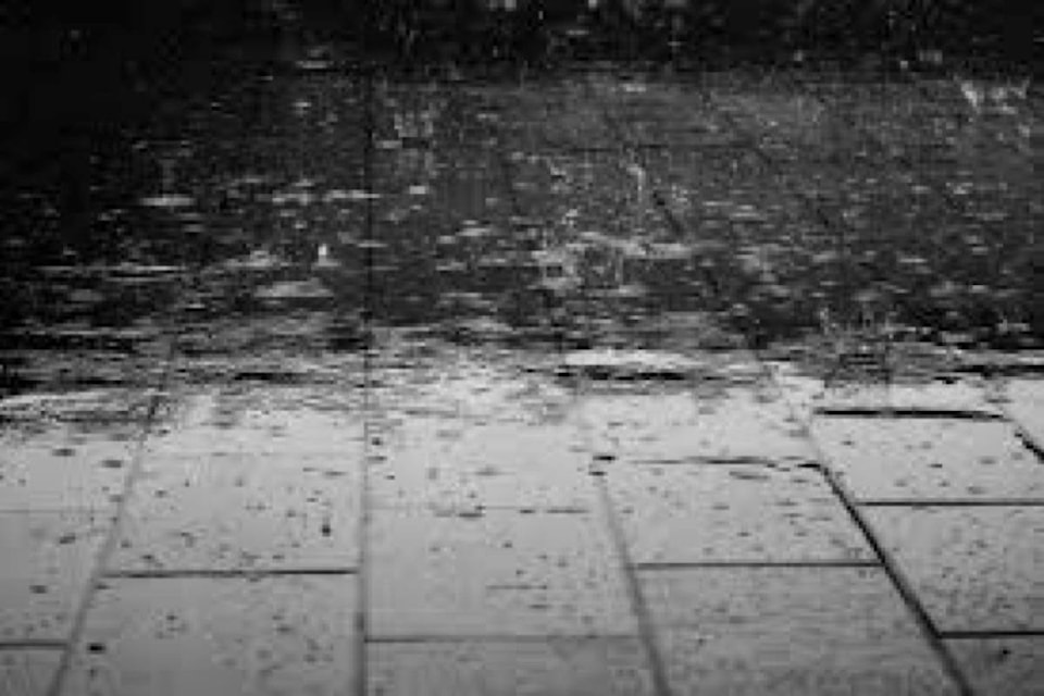
“The precipitation is expected to get heavier on Wednesday night as the slow-moving weather system hits in full force, and eight to 10 millimetres of rain is expected in the Cowichan Valley.”
MacDonald said Tuesday is forecast to be the final day of the cold air that has struck the Island since Nov. 1, and more westerly winds will see the temperatures rise to more normal temperatures, between 3 and 9 C, at this time of year.
“Moderate rainfall is expected as we go into the long Remembrance Day weekend,” he said.